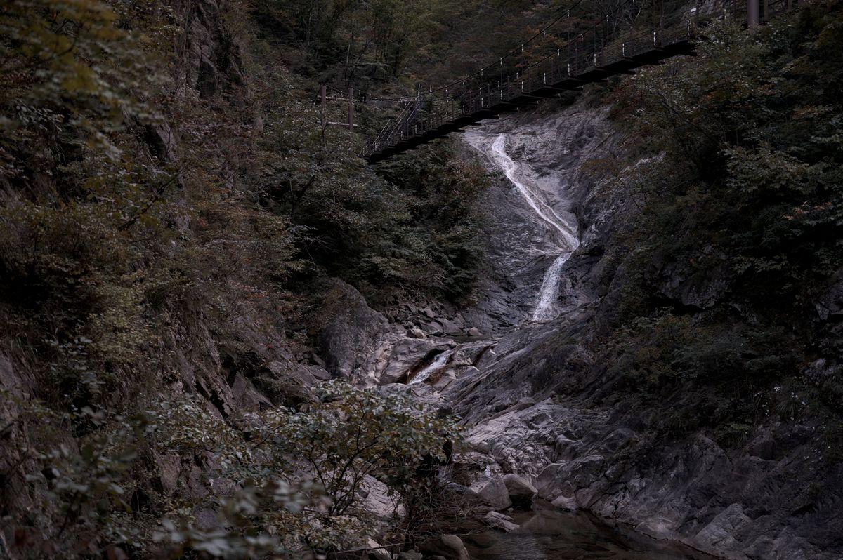
Korea Summer Valley Drives: 5 Best Gyegok Spots to Cool Off by Rental Car
July and August in Korea are genuinely hot — highs in the mid-30s Celsius with humidity that makes it feel even worse. Koreans have a time-honored solution: pile into the car and drive to the nearest gyegok (계곡), a mountain valley stream where the water stays surprisingly cold no matter how sweltering it is outside.
Unlike beach trips, valley visits are low-cost, relaxed, and usually easy to access by car. You park near the trailhead, walk a few minutes upstream, and wade into water that hovers around 12–16°C even in peak summer. It's one of the best things about having a rental car in Korea.
What Is a Gyegok?
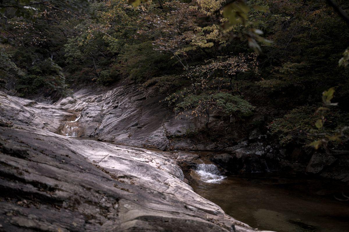
A gyegok is simply a valley stream — usually running between forested granite or limestone ridges, fed by snowmelt and groundwater. The banks are typically a mix of smooth boulders and shallow pools where you can sit and let the current run over your legs, or swim in deeper spots. Most gyegok are inside or adjacent to national or provincial parks, so the water is clear and the forest cover keeps temperatures noticeably cooler than the surrounding lowlands.
Many gyegok have informal camping areas, barbecue spots, and small tent or floatie rental kiosks set up by locals during summer. Facilities vary wildly — some have clean bathrooms and convenience stores nearby; others are completely undeveloped. Parking usually costs 2,000–5,000 KRW per day at the nearest lot.
Gapyeong Valleys — 90 Minutes from Seoul
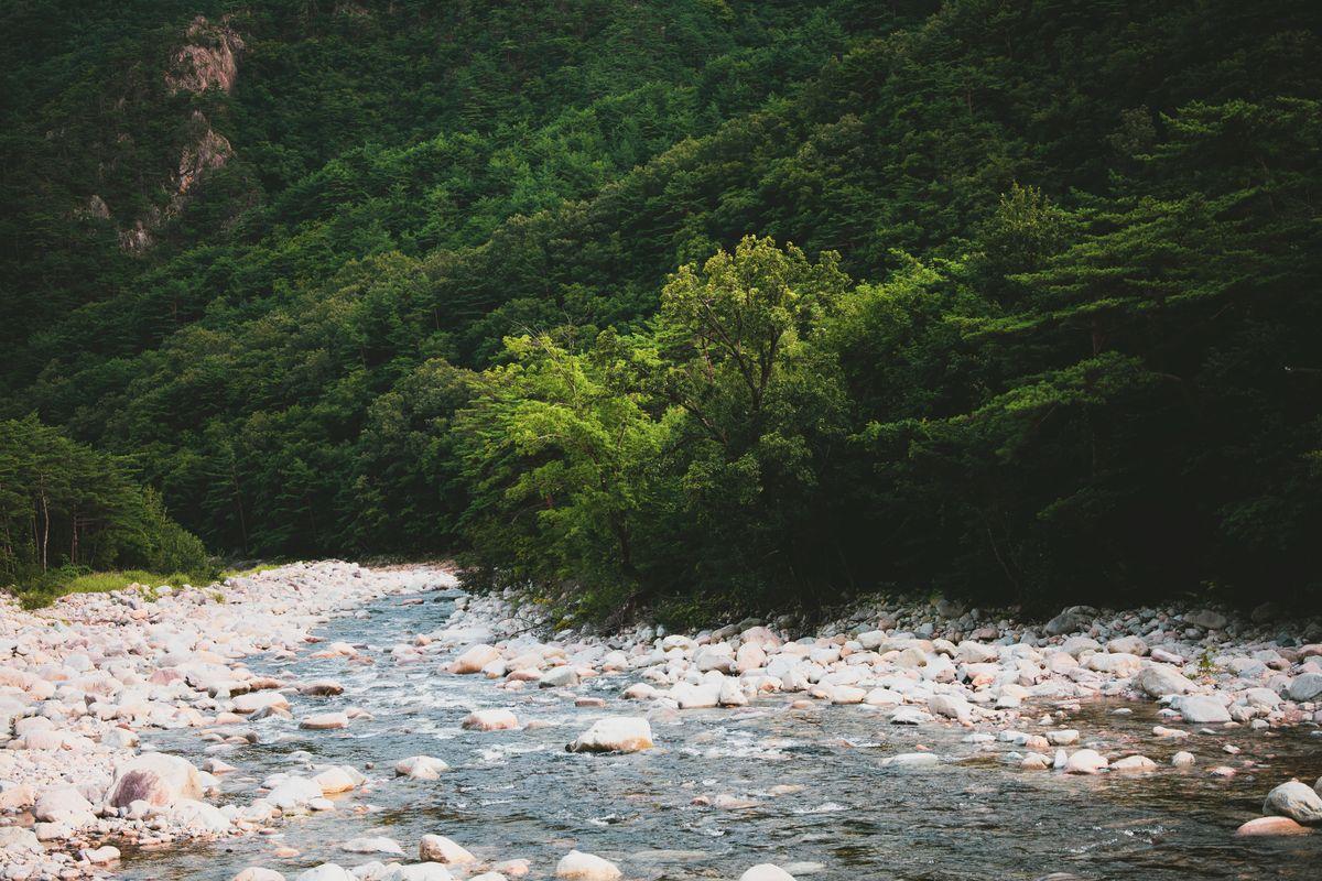
Gapyeong County (가평군) in northern Gyeonggi-do is the most popular valley destination for Seoulites, and for good reason: it's just 80–90 km northeast of Gangnam, the roads are easy, and you can combine a valley stop with Nami Island, the Petite France complex, or the Garden of Morning Calm in one day.
The best valleys in Gapyeong are Myungji Valley (명지계곡) near Myungji Mountain and Baegun Valley (백운계곡) near Hwaksan. Baegun is smaller and less crowded; Myungji has a longer hikeable stretch with multiple swimming holes. Both are accessed via Route 75 heading north from Gapyeong-eup.
- Distance from Seoul: 80–90 km (1.5 hours via Expressway 60 or Route 46)
- Best valley: Baegun Valley (백운계곡) for quieter spots; Myungji (명지계곡) for longer trails
- Parking: Free or 2,000 KRW at roadside lots near trailhead
- Combine with: Nami Island ferry (12,000 KRW round trip), Garden of Morning Calm
- Tip: Arrive by 9:00 on weekends — lots fill fast after 10:30
Inje / Naerincheon — Gangwon's Wildest Valley
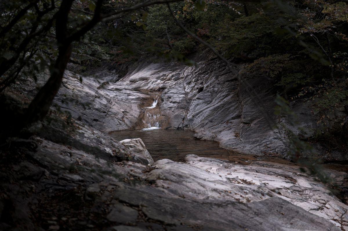
If you're willing to drive 2.5–3 hours from Seoul, the valleys around Inje (인제) in Gangwon Province are on a different level. The most famous is Naerincheon (내린천), a 16-km valley river so pristine that swimming in it feels genuinely wild. The water is ice-cold even in August — locals say it stays under 14°C near the source — and the surrounding mountains are dense enough that you'll be in dappled shade most of the day.
Baedam Valley (백담계곡), leading toward Baedam Temple inside Seoraksan National Park, is another outstanding option slightly further north. The 7-km valley path follows the stream through enormous granite boulders; you can hike to Baedam Temple, then walk back through the same canyon. It's possible to combine Inje's valleys with a night in Sokcho — see our Sokcho East Coast Drive guide for the full route.
- Distance from Seoul: ~180 km (2.5 hours via Expressway 60 → Route 44)
- Best spot: Naerincheon (내린천) for swimming; Baedam Valley for hiking + scenery
- Entry fee: Free for Naerincheon; Seoraksan National Park 3,500 KRW if using park facilities
- Nearby fuel: Fill up in Hongcheon before heading north — Inje has limited stations
- Stay option: Many pension guesthouses along Route 44 (from ~80,000 KRW/night)
- Rafting: Naerincheon is a whitewater rafting hotspot — 1-hour trips from ~35,000 KRW
Miryang Eoreumgol — Korea's Ice Valley
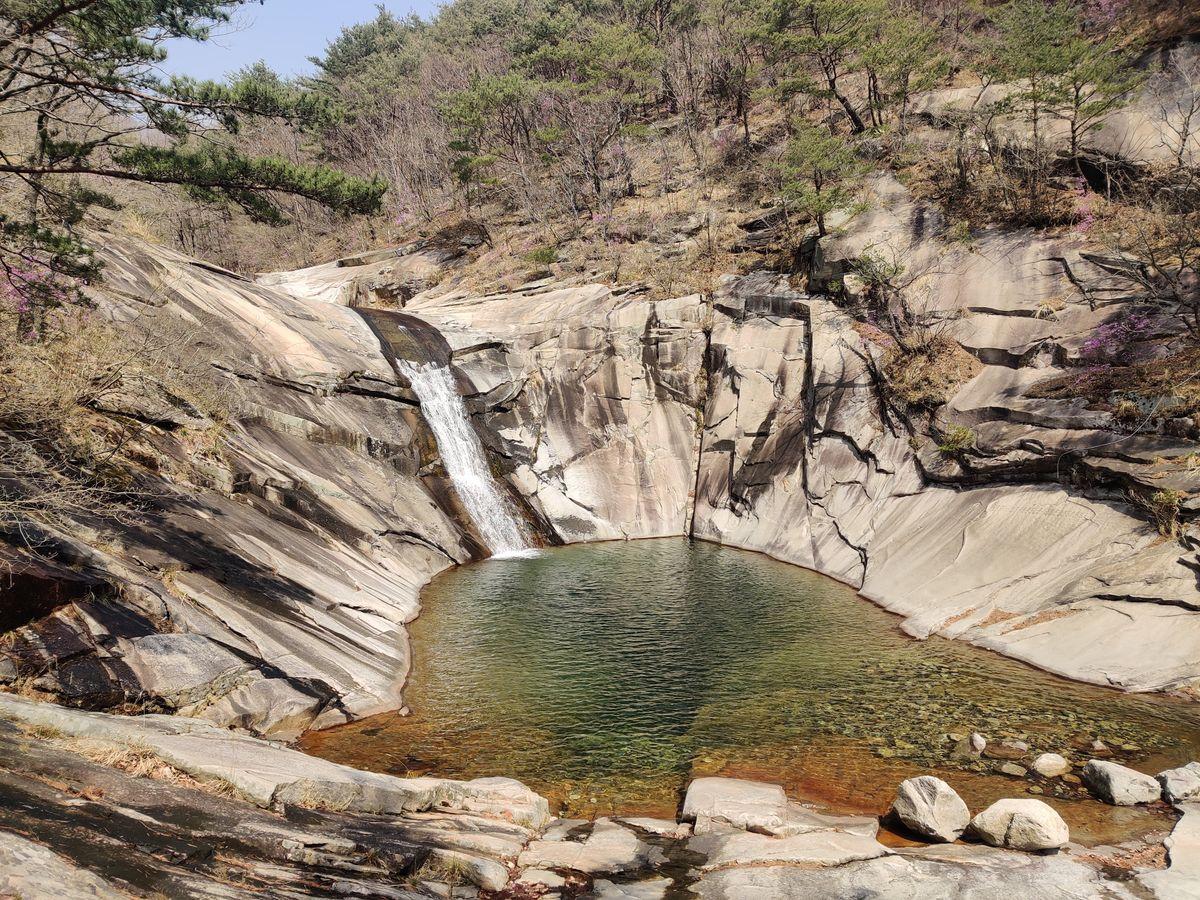
Miryang (밀양) in South Gyeongsang Province is home to one of Korea's most unusual natural phenomena: Eoreumgol (얼음골), literally the "Ice Valley." Cold air seeps from gaps in the talus slopes of Jaeyaksan Mountain and pools near ground level, keeping the valley floor frigid throughout the summer. It's bizarre — you walk downhill toward the stream and feel the temperature drop by 5–10°C before you even reach the water.
Eoreumgol is a natural monument (천연기념물 제224호), so swimming in the main pool is restricted. But the valley walk is rewarding on its own, and the sensation of cold air rising from the rocks in 35°C August heat is something you won't forget. Combine the stop with Pyochungsa Temple (표충사) 15 km north, or the Miryang Arirang Festival if your dates align.
- Distance from Seoul: ~340 km (3.5 hours via Gyeongbu Expressway → Namhae Expressway)
- From Busan: ~70 km (50 minutes via Expressway 10 then Route 24)
- Entry: Adults 1,500 KRW (valley parking + trails)
- Best time: 11:00–15:00 when the temperature contrast is most dramatic
- Combine with: Pyochungsa Temple (표충사, free), Miryang city traditional market
- Note: Main pool is a protected natural monument — no swimming; the walk itself is the attraction
Piagol Valley, Jirisan — The Deep South
Piagol Valley (피아골 계곡) in Gurye, South Jeolla Province, is one of Korea's classic mountain valleys — famous for autumn foliage but spectacular in summer too, when the forest canopy turns the canyon into a cathedral of layered green. The valley runs 6 km along Piagol Stream through Jirisan National Park, following the water between boulders and past several small waterfalls.
The drive from Seoul is long — about 4 hours via the Namhae or Suncheon-Wanju Expressway — but it can anchor a two-day road trip through southern Korea. Combine with Gurye's traditional bullocho (fermented plum) farms, Suncheon Bay Wetlands, or the Hadong tea fields for a weekend that covers some of Korea's most varied landscapes.
- Distance from Seoul: ~350 km (3.5–4 hours via Jungbu Expressway → Suncheon-Wanju)
- Entry: Jirisan National Park day fee 2,000 KRW per person
- Trailhead: Start at Piagol Shelter (피아골대피소) parking area — follow signs from Gurye-eup
- Difficulty: Easy to moderate; mostly flat valley path with occasional boulder scrambles
- Best in summer: Shade from the forest canopy keeps it 8–10°C cooler than the lowlands
- Nearby: Nogodan Ridge for sunrise views (4 km from Piagol trailhead, trail gets steep)
Practical Tips for Valley Visits
- 1Go early or late on weekends: Gyegok near Seoul fill by 10:30 on summer Saturdays. Arrive before 9:00 or after 15:00 when day-trippers start leaving.
- 2Bring water shoes: Rocky riverbeds are slippery. Lightweight water sandals or neoprene shoes make a huge difference — Korean convenience stores and online shops sell them for 10,000–20,000 KRW.
- 3Pack your own food: Roadside stalls near popular valleys sell samgyeopsal and corn, but bringing a portable grill or lunchbox is cheaper and means you're not waiting for a spot.
- 4Check the forecast: Flash floods are a real risk during monsoon season (June–July). If heavy rain is forecast upstream, postpone. National park sites post closure notices at trailhead signs.
- 5Swim cautiously: No lifeguards at most gyegok. Currents in narrow canyons can be deceptively strong after rain. Stick to wide, shallow sections with visible riverbeds.
- 6Fuel up before remote valleys: Inje, Gurye, and other rural areas have limited gas stations. Fill up at the nearest expressway service area — Korean rest stops always have full-service fuel.
FAQ
Frequently Asked Questions
Korea's summer heat is real, but the solution is right there in the mountains. Grab a rental car, pack a lunch, and point yourself north or south toward the nearest 계곡. You'll wonder why you ever considered anything else.
Share this article
You Might Also Like


Get Travel Inspiration
Subscribe for new stories, route guides, and driving tips delivered to your inbox.